THE Ministry of Provincial Government and Institutional Strengthening (MPGIS) through its Provincial Governance Strengthening Programme (PGSP) under the auspices of its Integrated Economic Development and Community Resilience (IEDCR) project is conducting ward baseline survey and ward profiling in 173 wards in the nine provinces throughout the Solomon Islands.
One Hundred and Seventy-three (173), recently recruited Ward Support Officers (WSOs) are collecting the baseline data for the IEDCR project and ward profile data with the supervision of IEDCR project provincial officials. The baseline data will be analysed and a report will be written by the recently recruited baseline consultant to support the process.
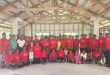
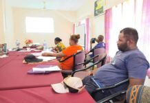
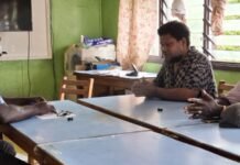
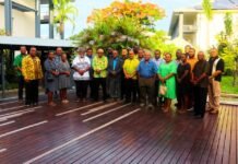
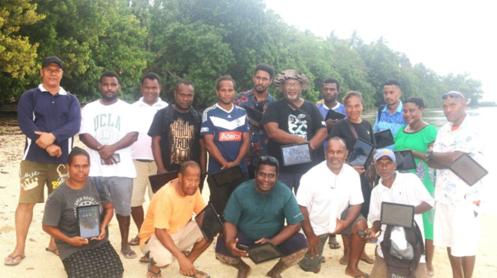
Ministry trainers consisting of PGSP and IEDCR project officers that are based in the Ministry and the Provinces, in July, trained the WSOs in Malaita, Guadalcanal, Isabel, Choiseul, Western, Makira, Temotu, Rennell and Bellona provinces in August 2024 on how to administer both the baseline survey and the ward profile, using Kobo Toolkit.
The WSO training for the Central province is proposed for the end of August. Over 70% of the targeted baseline survey sample has been collected and uploaded. The remaining 30% of the targeted sample size is expected to be collected from Central Province including a few wards whose WSOs are yet to undergo training.
A total of 255 officials including the WSOs are expected to be involved in the survey from the training stage to the final report write-up stage. The people expected to be interviewed are those 18 years and above in the category of Ward Development Committee members, executives, community leaders, chiefs, elders, women leaders, women association members and leaders, churchwomen groups, youth groups, youth leaders, schools and health care facilities administrators, senior secondary schools, students, adult informants, and youths.
For the baseline survey, a sample size of 12 households will be interviewed from any two communities in the 173 wards. The communities within the WSOs’ easy access are recommended for the baseline survey and ward profiling sampling.
The baseline data is expected to indicate (i), the number of individuals benefiting from climate change projects, (ii), the percentage of people benefiting from access to climate change and disaster risk resilience projects, (iii), the percentage of people reporting the investment (project) reflected their needs, (iv) the number of provinces achieving improved social accountability through ward forums, participatory decision-making, and participatory planning.
In the case of ward profiling, four representatives from four communities in 173 wards throughout the Solomon Islands will be interviewed using the Ward Profiling and Provincial Strategic Planning Questionnaire using the Kobo toolkit in the tablets issued to the WSOs. The MPGIS through the IEDCR project will also recruit local consultants to write the profiles the moment the collection of data is completed.
The survey would gather baseline data, both quantitative and qualitative, to guide activities and assess the actual state of the wards by looking at the types of projects carried out per standards before the involvement of the IEDCR, as well as the number of project beneficiaries. It will provide a comparative analysis and quantification of the data from pre- and post-implementation to ascertain progress, modifications, and impacts.
The ward profile data is also intended to update the current ward profiles, especially on climate change adaptation and risk resilience regarding provincial ward planning processes. This is hoped to help the communities map out the risk areas when identifying projects. Collected data from the baseline survey and ward profiling will form the basis for establishing a monitoring information system (MIS) where the data will be stored safely and securely in coordination with SIG’s Information Communication Technology Unit (ICTSU).
The IEDCR project is a World Bank-funded project implemented jointly by the MPGIS and MECDM. The project is part of the PGSP and is based at the Ministry. The IEDCR will be implemented over five years from 2022 – 2027.


